
Marrero Neighbors by Block
A Marrero block is best treated as a repeatable map search, not a ready-made people list. JeffMap establishes which parcels are next to the target, across the street, or within a chosen radius. The assessor then provides one card per parcel. Deeds show ownership change, the voter portal can test an exact address, and civic associations supply neighborhood names or public contacts. Each source answers a different question. Keep the parcel, owner, voter, and occupant layers separate.
| Source | What It Shows About a Block | Access |
|---|---|---|
| JeffMap | Parcel shapes, address points, frontage, adjacent lots, subdivision context | Free map with identify, layers, measure, buffer, and print |
| Assessor parcel cards | Assessed owner, mailing and situs addresses, homestead, legal description, deed table | Free, one parcel at a time |
| Jefferson Clerk index | Ownership changes, parent tracts, and recorded interests | Free terminal or paid remote access; electronic index from 1967 |
| Louisiana voter tools | Registered voters at one exact address, subject to protected records | Free address lookup or lawfully purchased file |
| Parish civic directory | Association names and listed public contacts | Free directory; no member roster found |
| Regional criss-cross volumes | Historical names and phone clues keyed to an address | Library and City Archives, with Marrero gaps |
The word neighbor can mean a nearby owner, a person who lives next door, or someone active in the same civic group. Public rolls do not merge those meanings. The assessor proves an assessment fact, not a complete household. A civic listing proves a public contact was posted, not that every nearby household joined. The block method stays accurate by stating exactly what each result shows.
JeffMap Frames Marrero Neighbors
Jefferson Parish's public geoportal is the visual starting point for the immediate area:
The map view provides spatial context before any owner name is collected. Search or select the target parcel, switch on parcel, address, subdivision, and aerial layers, then record the scale and date. Property Identify Info connects a selected shape to parcel details. Measure can test distance. Buffer draws a radius around a point or parcel, but neither tool defines a legal block.
A corner lot, divided tract, canal, or wide roadway can make a simple left-and-right search misleading. Click contiguous polygons and the facing parcels across the street. Print Map can preserve the search frame. JeffMap carries a disclaimer and is not a survey, so critical boundaries must be confirmed with the custodian.
Map Marrero Parcels Outward
Move from the target address to nearby owners in a controlled order. Save a separate note for every parcel. That prevents one card's mailing address or homestead field from being carried over to the next lot. The physical address, also called the situs address, identifies where the parcel lies. The mailing address is where notices go and may be elsewhere.
- Locate the address in JeffMap and record its parcel ID, street label, subdivision, and legal description.
- Zoom until adjacent and facing parcels are clear. Click each polygon and save its parcel ID.
- Open each parcel separately in the Assessor search. Copy owner, situs, mailing, homestead, deed, block, and lot fields.
- Use Measure or Buffer only for physical context. Label the chosen radius because it is not an official neighborhood boundary.
- Check a deed only when ownership history matters. Never infer that two nearby owners share a household.
This process answers an immediate-block question. A search spanning a full road belongs in the Marrero street directory, where parcel and deed work can proceed along the named street.
One Marrero Record Per Parcel
The assessor card may show primary owner, mailing address, physical address, parcel number, ward, legal description, subdivision, block, lot, values, homestead entries, and a deed table. These fields make it possible to compare nearby lots without claiming to know every resident. Homestead information can support an owner-occupancy clue, but it is not conclusive proof that a person lives there today.
Entity ownership and a remote mailing address are common reasons the owner name will not match the person seen at a home. A blank result may reflect spelling or format. Owner mode instructs users to try Last,First with no space; property-address mode has no visible ZIP filter. Retain leading zeroes in parcel numbers and copy names exactly as displayed.
- Parcel
- A mapped unit of land identified by the assessor for tax and record purposes.
- Situs address
- The physical location of the parcel, distinct from the owner's mailing address.
- Homestead entry
- An assessment field tied to claimed owner occupancy and tax treatment, not a household roster.
- Buffer
- A map-created radius used for spatial context, not a legal definition of a block.
Marrero Voters at One Address
The Louisiana Secretary of State voter portal offers an exact-address path using ZIP, street address, optional apartment or lot, and a city selected after the ZIP. It does not provide a public browse-the-block button. A match shows a registration fact as of the system's update. It does not prove that all adults at an address are listed or that every result still lives there.
The purchased voter file contains residence house number, fraction, direction, street, apartment, city, state, ZIP5 and ZIP4, plus mailing fields. A lawful request can therefore be filtered by street, but protected fields remain excluded. The Jefferson Parish Registrar of Voters page identifies the West Bank office:
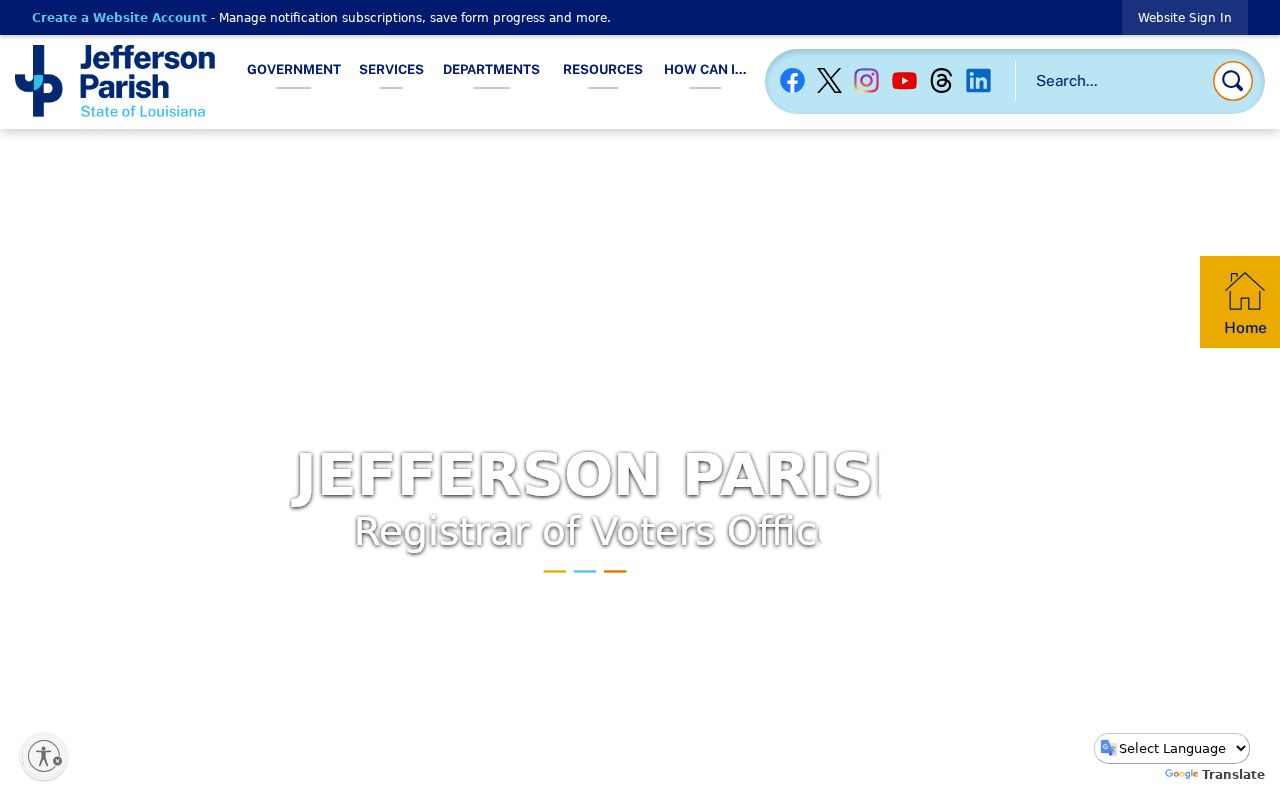
The Registrar is the proper fallback for voter-list rules and maintenance questions. A non-match is not proof that an address is vacant.
Marrero Civic Names Add Context
The official West Bank Civic Associations directory displayed 36 listings across four pages when researched:
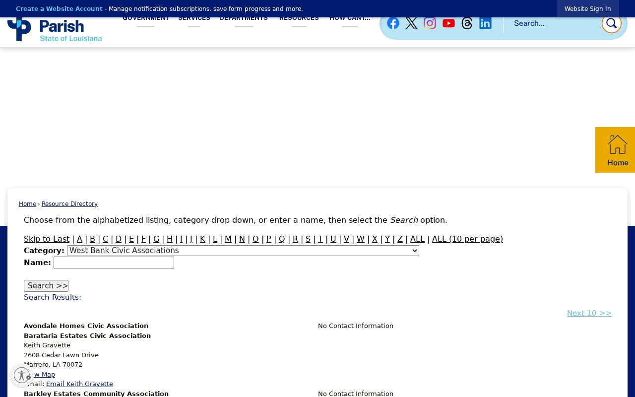
The listings are a vocabulary and contact map, not a directory of Marrero neighbors. They can identify the name residents use for an area, which helps with newspaper, subdivision, and archive searches. No public member roster, full boundary atlas, join procedure, dues rule, or block-watch roster was located.
Hillcrest Civic Association
Listed contact Carol Braun, 4001 Hugo Drive, Marrero 70072.
Lincolnshire Civic Association
Listed contact Tyrone Lawrence, 2048 Maharry Drive, Marrero 70072.
Oak Forest Community Association
Listed at 2751 Oak Forest Boulevard, Marrero 70072.
Plantation Estates
Listed at P.O. Box 683, Marrero 70073.
Other names include Bent Tree, Segnette Estates, Timberlane, Westminster Park, Woodland Oaks, and The Forest Organization. Contacts can become stale, and a listing does not prove current activity or exclusive coverage. Confirm with the group before relying on it.
Marrero Neighbors in Older Records
Historical neighbors require different sources. Regional Haines CrissCross volumes from 1966 onward can connect an old address with a listed name or phone number, though exact Marrero coverage and gaps were not published. Released census schedules show households within historic census geography. The Jefferson Historical Society Virtual Archives also names a 1927 School Census as a family and address lead, but no complete public name index or image set was verified.
The parish historical societies page points to groups that preserve West Bank context:
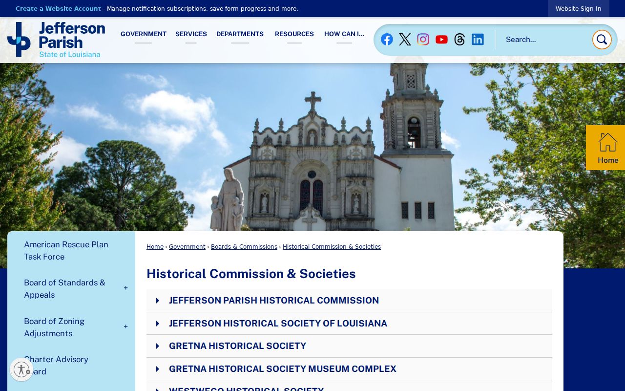
Use a school record, old directory, or historical society reference as a lead. Match it to a date and address before identifying two families as past neighbors.
The Jefferson Genealogical Society research links add archive, cemetery, church, newspaper, and federal sources:
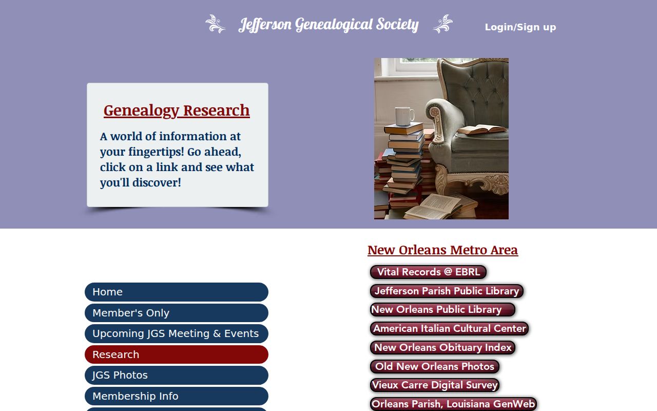
These referrals help test an old family or address clue. Each repository has its own access rules, so the Society's page is a route map rather than proof of identity.
Marrero Records Versus People Tools
Commercial neighbor tools may combine public records with unclear or stale material. They can merge people with similar names, carry old addresses forward, or treat an owner as a current occupant. Official rolls are narrower, but the custodian, date, fields, and legal limits are visible. That makes their claims easier to test.
| Source Type | Best Use | Main Limit |
|---|---|---|
| JeffMap and assessor | Define parcels and identify assessed owners | No complete occupant list |
| Voter address tool | Check registration at one exact address | Only voters; protected records omitted |
| Civic directory | Find a neighborhood name or listed contact | No members or exact boundaries |
| Commercial category | Possible lead for later verification | Source, date, and accuracy may be unclear |
Prefer the official record for the fact it was built to state. Verify a map fact with GIS, an assessment fact with the assessor, and a registration question with elections staff.
Privacy Around Marrero Neighbors
Non-owner occupants, household members, visitors, and unregistered residents do not appear merely because an assessor card exists. Utility accounts, delivery records, DMV addresses, and private association member lists were not found as public sources. Louisiana's Address Confidentiality Program provides a substitute address and mail forwarding for eligible survivors of abuse, sexual assault, or stalking. Protected voter information is withheld.
Marrero is an unincorporated community and Census-designated place, so postal labels and parish geography can differ. An address labeled Marrero, Harvey, Gretna, or Westwego in one source should not be normalized without checking USPS, assessor, and GIS records. A nearby parcel owner is not necessarily a social neighbor and may live elsewhere.
The official Jefferson Parish boundary overview gives that local jurisdiction context:
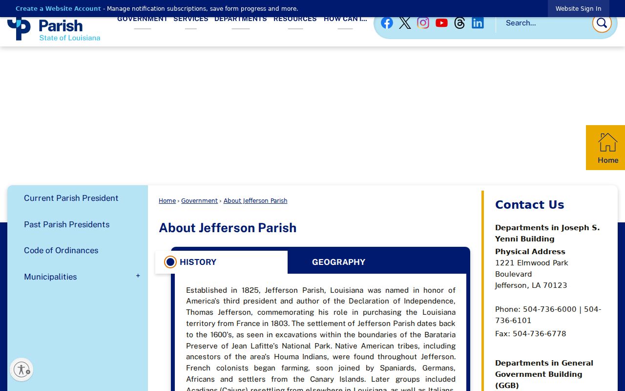
The parish description helps explain why public records for Marrero neighbors come from parish offices rather than a Marrero city clerk.
Lawful use. Use Marrero neighbor records for civic curiosity, family history, reconnecting, or personal safety awareness. Never use them to watch, harass, intimidate, or harm anyone.
Good block research leaves room for what the public record cannot show. Date every result, avoid publishing a blockwide name list, and confirm important details with the office that created the record.